Tides
Massachusetts tide charts
Pick a beach for today's tides and a month of highs and lows on one printable page, each from the NOAA station that stands for it.
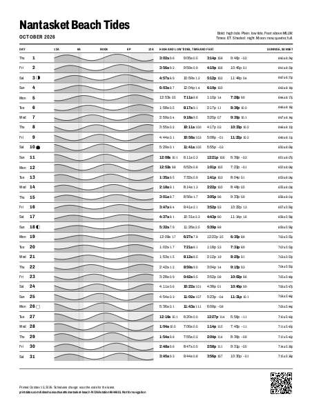
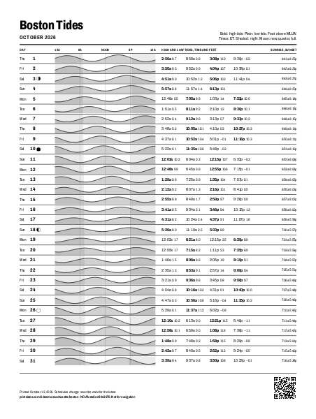
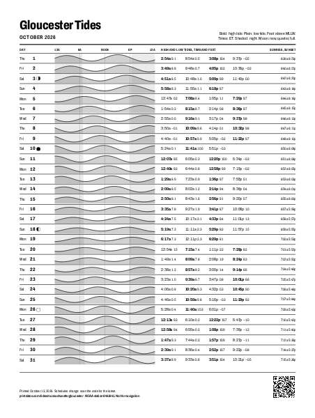
Most looked up
Every place in Massachusetts
- Barnstable Harbor, Beach Point Barnstable Harbor Water moves up to 12.7 ft this month
- Beverly, Beverly Harbor Beverly Water moves up to 12.2 ft this month
- Boston Boston Water moves up to 12.7 ft this month
- Sesuit Harbor, East Dennis Brewster Water moves up to 13.4 ft this month
- Duxbury, Duxbury Harbor Duxbury Water moves up to 12.9 ft this month
- Wellfleet Eastham Water moves up to 13.3 ft this month
- Gloucester Harbor Gloucester Water moves up to 12.0 ft this month
- Hull Hull Water moves up to 12.3 ft this month
- Salem, Salem Harbor Marblehead Water moves up to 12.2 ft this month
- Brant Rock, Green Harbor River Marshfield Water moves up to 12.1 ft this month
- Nantasket Beach, Weir River Nantasket Beach Water moves up to 12.6 ft this month
- Newburyport, Merrimack River Newburyport Water moves up to 10.8 ft this month
- Plum Island, Merrimack River Entrance Plum Island Water moves up to 10.7 ft this month
- Plymouth, Plymouth Harbor Plymouth Water moves up to 12.8 ft this month
- Provincetown Provincetown Water moves up to 12.5 ft this month
- Scituate, Scituate Harbor Scituate Water moves up to 12.0 ft this month
- Sesuit Harbor, East Dennis Sesuit Harbor Water moves up to 13.4 ft this month
- Wellfleet Wellfleet Water moves up to 13.3 ft this month